Night and Day in the City
Over the years the Strip in Las Vegas has expanded tremendously in all directions. The strip has grown longer expanding both northward and southward. It has become fatter – spilling out on both sides of Las Vegas Blvd. And the glitzy casinos and picturesque buildings now stretch upward, leaping skyward.
To walk the Strip is to be amazed by this part of the city’s architecture. Below is a look at some of these sites during the day and after the sun goes down.
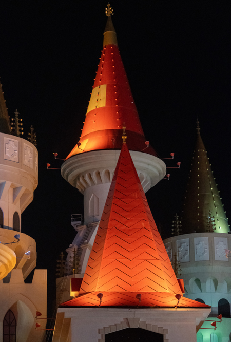
One of the colorful castle towers at the Excalibur casino
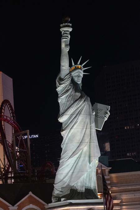
A replica of the Statue in front of the New York New York Casino
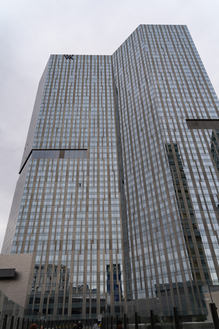
This is 52 story tower of the Cosmopolitan Resort Casino.
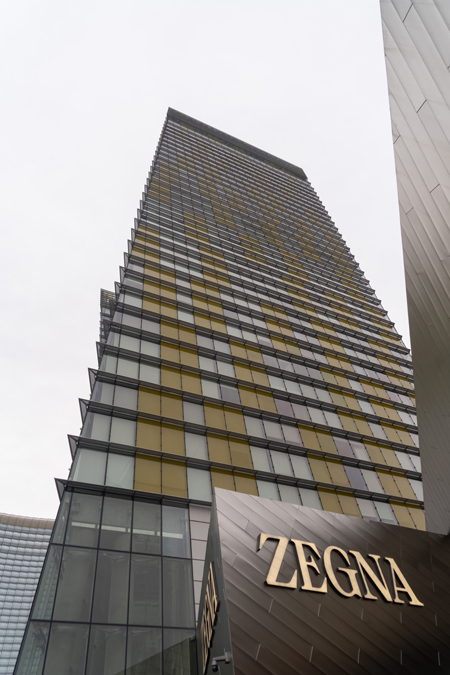
Next door is the luxury Waldorf Astoria hotel with its 47 stories.
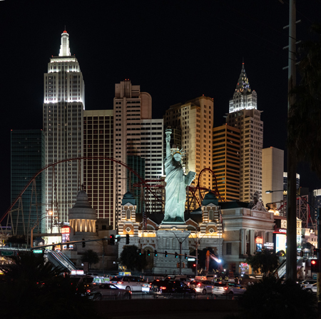
Looking like the skyline of Manhattan is the New York New York Casino.
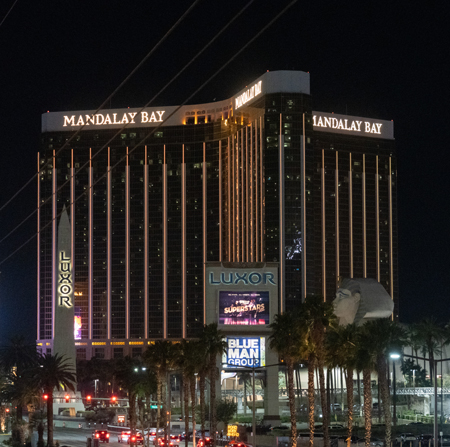
At the south end of the strip is the Mandalay Bay Casino.

The pyramid shaped Luxor Casino has been turned into a huge advertising poster.
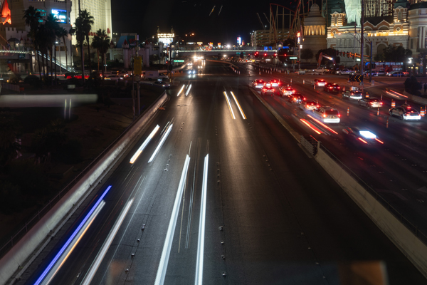
These headlights show some of the speedy traffic along the iconic Las Vegas Blvd.
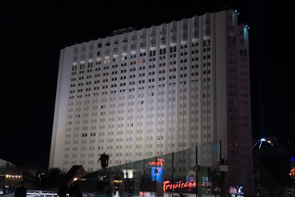
The Tropicana is scheduled to be imploded in April 2024 to make room for a new baseball stadium.
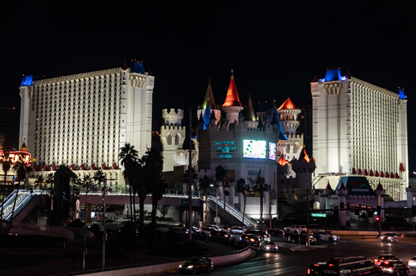
The twin towers of the colorful Excalibur sits boldly on the corner of Las Vegas Blvd and Tropicana Ave
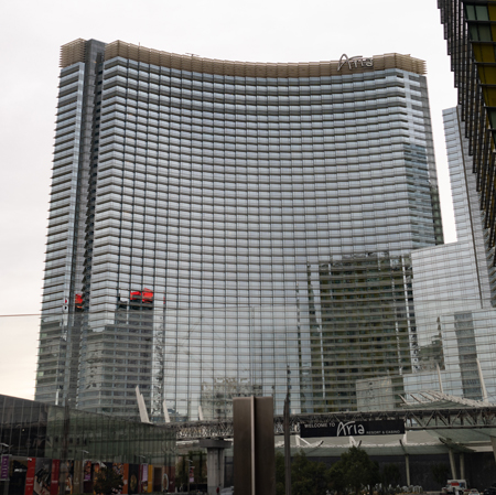
This is the luxury Aria Resort/Casino located in City Center.
Here is one of the trams that run along the Strip. This one transports visitors from the Park MGM Casino to Bellagio Casino. Another runs from the Mandalay Bay Casino to the Excalibur Casino and a third from the MGM Grand to the Las Vegas Convention Center.
I’ve photographed only a few of the casinos here. But Las Vegas is home to countless other amazing buildings. Even if you’re not a gambler the size and scale of the architecture is worth a visit to the city.
Written by:
Arnie Lee